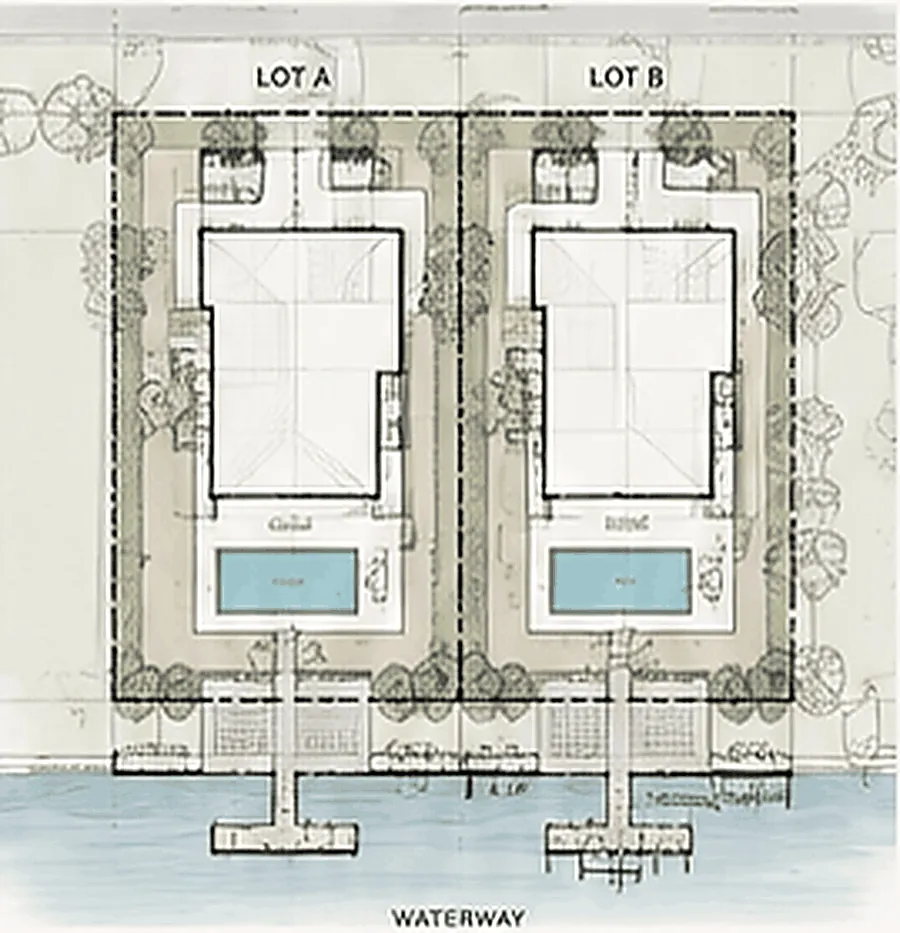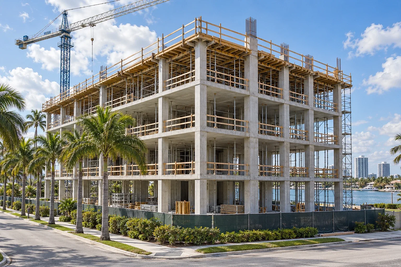
Coastal Florida was platted long before the rules that govern it today. Walk almost any older barrier-island or waterfront street and you will find parcels laid out for a different era of building — narrower, shallower, and tighter to the line than a current zoning map would allow. Most are still perfectly legal. They are simply non-conforming, and that one word shapes what a site can hold and how long approvals take.
What “non-conforming” actually means
Non-conforming is a legal status, not a defect. It describes something that was lawful when it was created and no longer meets the standard that applies now, usually because the standard changed underneath it. Codes generally treat three versions of this separately.
A non-conforming use is an activity — a small commercial operation inside what is now a residential district. A non-conforming structure is a building that breaks a current dimensional rule, sitting closer to a side line than today's setback allows. A non-conforming lot is the parcel itself: a lot of record that falls short of the minimum area, width, or depth for its district.
The distinction matters because codes protect each differently. Many jurisdictions let a lawfully created lot of record be developed with a single-family home even when it misses current minimums, while offering far less latitude to expand a non-conforming use. And legal does not mean buildable.
Why coastal parcels are so often non-conforming
Three layers stack up. The first is platting history — much of coastal Florida was subdivided when lots were sized for smaller homes, less parking, and no stormwater management. The second is the upward drift of dimensional standards: minimum widths and areas were raised as communities matured, and the lots already on the ground were left behind as substandard.
The third layer is everything that arrived later and sits on top of base zoning — floodplain mapping and minimum finished-floor elevations, limits on investment in an existing structure before it must be brought fully into compliance, state coastal construction lines, and local overlay districts governing height and massing. Base zoning tells you what the district contemplates; the overlays tell you what can actually be built, and on the coast the overlays usually bind first.
Splits, assembly, and the merger question
Two moves come up constantly on substandard parcels, and they run in opposite directions. Assembly combines adjacent lots into one parcel that meets, or comes closer to meeting, current standards. It trades unit count for certainty and is often the cleanest way to unlock a difficult block. A lot split separates a parcel back into the pieces an original plat described.
The split is where trouble tends to live. Many codes contain a merger or combination provision: contiguous substandard lots held in common ownership are treated as a single parcel, and separating them again requires an approval that may not come. A prior permit may also have been conditioned on a recorded unity of title that ties the parcels together indefinitely.
Read the deeds, not just the plat. Ownership history, covenants, easements, and old permit conditions decide whether two lines on a plat still describe two developable lots.
Setbacks, lot width, and the buildable envelope
The buildable envelope is what remains after every dimensional standard is subtracted: front, side, and rear setbacks, then lot coverage and impervious-surface caps, height measured from whichever datum the code specifies, required parking and driveway maneuvering, and — on the coast — the elevation a finished floor has to reach.
Width is usually the binding constraint. Because setbacks are commonly fixed dimensions rather than percentages, the same side setback that is a modest trim on a wide lot can eat most of the frontage on a narrow one. A pinched envelope then pushes design upward, into height limits — and on the coast part of that height budget is spent before the first floor exists.
Why variances and administrative relief exist
Codes are written to a general case, and every jurisdiction knows some parcels will not fit it. Relief mechanisms are the pressure valve.
A variance is the formal path: a quasi-judicial request, usually heard in public, decided against criteria that typically include a hardship arising from the property itself rather than the owner's plans, relief limited to the minimum necessary, and no harm to the public interest. Self-created hardship — buying a constrained lot and asking for relief because it is constrained — is the classic reason a request fails.
Administrative relief, sometimes called an administrative deviation, is the quieter path: a limited, staff-level approval for a small departure from a dimensional standard, without a hearing. It is faster and more predictable, but the door is narrow.
Neither is a plan. Both are contingencies, and they belong in the underwriting and in the contract as contingencies — with honest time allowed for the hearing calendar, the appeal window, and the possibility of no.
Questions worth answering before you commit
- Is this a legal lot of record, and which document created it — a plat, a deed, or a later split?
- Has it ever been in common ownership with an adjoining parcel, and does a merger provision apply?
- Is there a recorded unity of title, covenant, easement, or permit condition limiting separate development?
- Which district and overlays apply, and how does the code measure width, depth, height, and grade?
- What relief would the intended program require, and is it administrative or a public hearing?
- What is the flood zone and required elevation, and how do those interact with height and access?
- Does any portion fall under a state coastal line or another agency's review?
- Is legal access and utility service in place, or platted and never built?
None of these are exotic questions; they are sequencing questions. Ask them during diligence, get answers in writing wherever the jurisdiction will put them in writing, and schedule a pre-application meeting before the contract goes hard. A non-conforming lot is not a problem to avoid. It is a problem to price.
This article is general information about how land-use concepts commonly work. It is not legal, engineering, surveying, or land-planning advice, and it does not describe any specific property.
Codes, overlays, and relief procedures vary widely between jurisdictions and change over time. Confirm anything specific to a parcel with the governing jurisdiction and with your own licensed professionals.